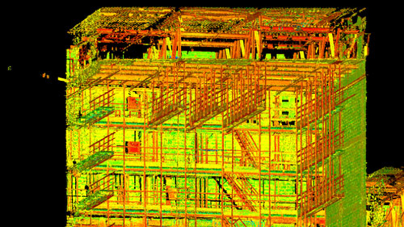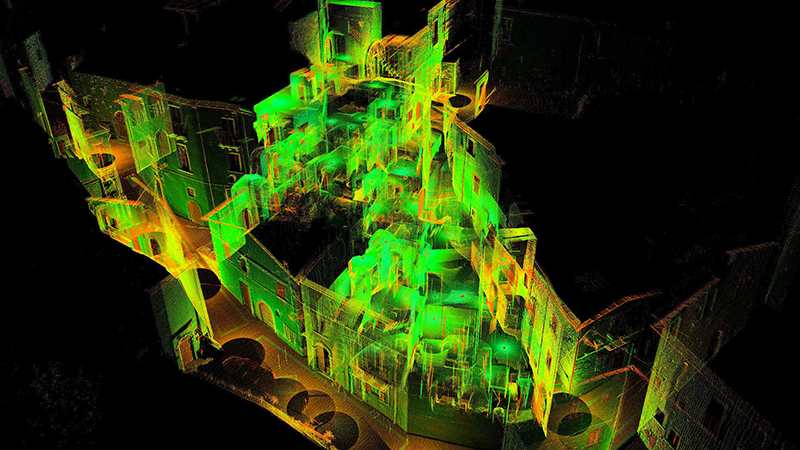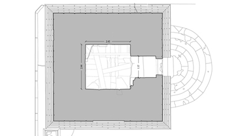

A series of coordinated procedures for the acquisition of data useful in making stereometric descriptions of a building. It is essential to have a good initial design. Then we proceed by integrating various techniques which ensure that we maintain an acceptable level of error for the expected scale of representation. The laser scanner integrates with topography and or GPS for the monitoring of large and small spaces. The finishing touches are performed with rangefinder lasers, fleximeters and fleximeters (Barton comb). We provide traditional representations along with three-dimensional renderings and point cloud for those able to work with those means.
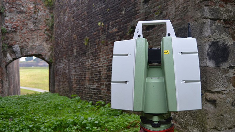
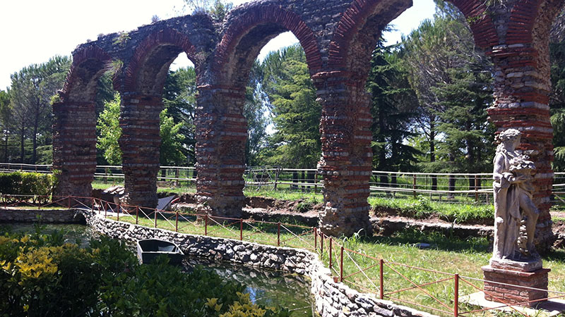
Lucca City Walls
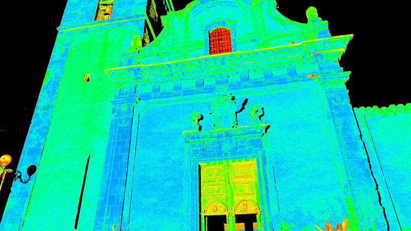
Valentina2018-02-05T15:26:16+00:00TECHNOLOGY: Scanner laser CUSTOMER: Microscape Architetti Associati, Lucca YEAR: 2013-2014 We have carried out a scanner laser survey of San Paolino, Santa Croce and San Martino exits in order to get ready for the restoration project. The main goal was to reopen the [...]