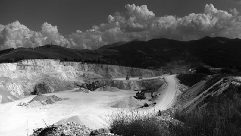

This entails all activities aimed at the acquisition of data useful for the description of an urbanized or natural environment. It is the right tool to provide the knowledge base to carry out projects that require extensive analysis of elevation plans of the area or volumetric plans of entire neighborhoods, or to perform calculations or monitoring (e.g. an estimation of the extracted material in a quarry). We can integrate the survey with topography and GPS data.

Almone River, Acquasanta Golf Club, Rome
Valentina2018-02-05T14:58:11+00:00TECHNOLOGY: Scanner laser and BIM CUSTOMER: Ipogea, Firenze COLLABORATION: Coordination and 2D drawings: Arch. Miriam Bruni - BIM : Ikare srls, Florence YEAR: 2014 Scanner laser survey of Almone river banks flowing inside the Acquasanta Golf Club in Rome. Reverse [...]