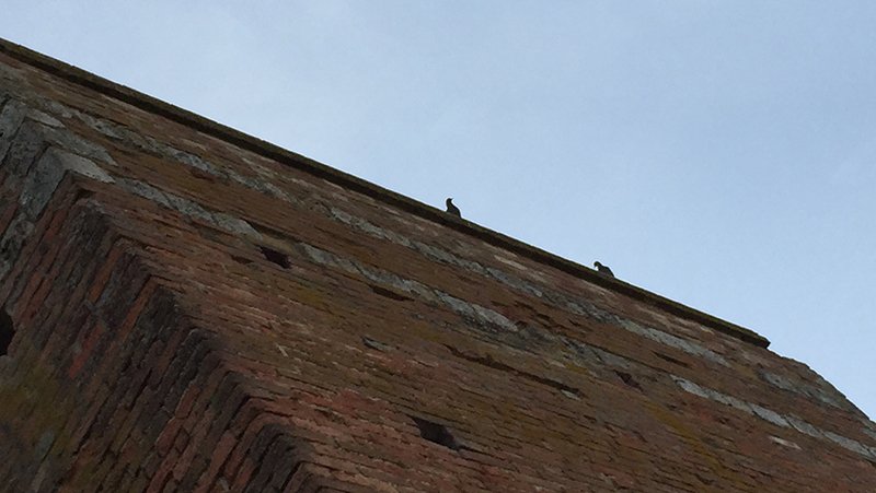
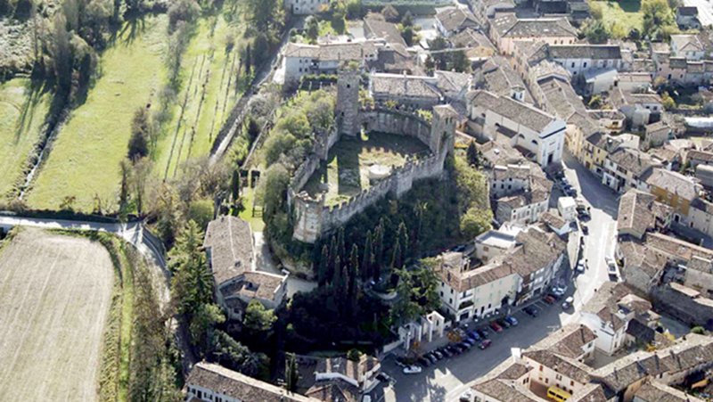
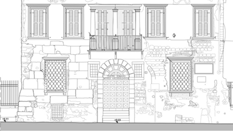
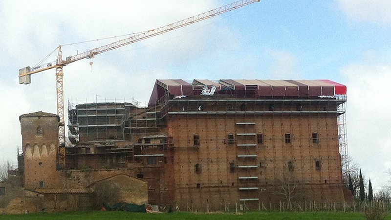
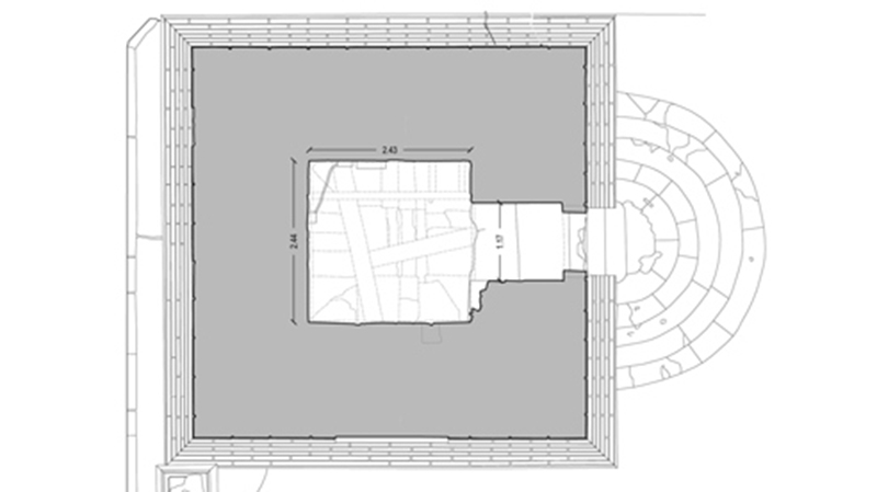
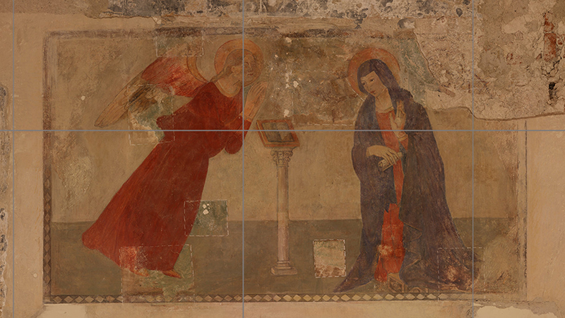
The representation by a photographic prospectus, or in other words, the transition from a perspective representation to an orthogonal projection. All with the utmost geometric precision, without spherical distortions, and with final images which are balanced and have strong visual rendering. We use special software that uses the data from the laser scanner survey, professional cameras and camera lifting tools. Photo-editing software, not suitable for these uses, is only minimally involved in the process.
Siena Walls
Stefania2018-02-05T12:59:03+00:00TECHNOLOGY: Laser scanning, GPS, drone, digital camera YEAR: 2016 CONTRACTING AUTHORITY: Siena Municipality PERFORMED IN COLLABORATION WITH:IKARE Firenze (drone survey)3D survey of a section of Siena walls, starting from Pispini to Ovile Gate. We have performed a laser scanning survey, [...]
